Level 1 Base 3D Model of London
Our brand new Base 3D Model of London offers an affordable option to include wide area 3D model of London in your projects. The model has been manually captured from the latest 2016 High-Res imagery and covers 25 km2.
The dataset is accurate to 200 cm in all axes and includes correct main roof shapes of buildings and accurate terrain with elevation changes captured. The model can be delivered as AutoCad solid .DWG, SketchUp .SKP and .FBX files to fit your flowline. For state-of the-art presentations and simulations, this 3D Model of London can also be supplied imported into Unreal Engine 4.
Base 3D Model of London is available on a 5 year, company-wide multiple use licence.
Included in a Base 3D Model
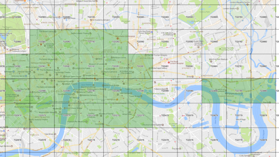
Size & Location
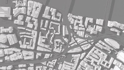
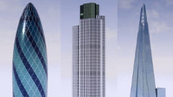
Base 3D Model covers 25 km2 of central London and Canary Wharf. 3D Model includes river Thames and its embankments, all bridges from Westminster bridge to London bridge and famous sites such as Buckingham Palace, The Mall, Parliament Square, Southbank, Waterloo, Trafalgar Square, West End, City of London, The Shard, Tower of London and Canary Wharf tower cluster.
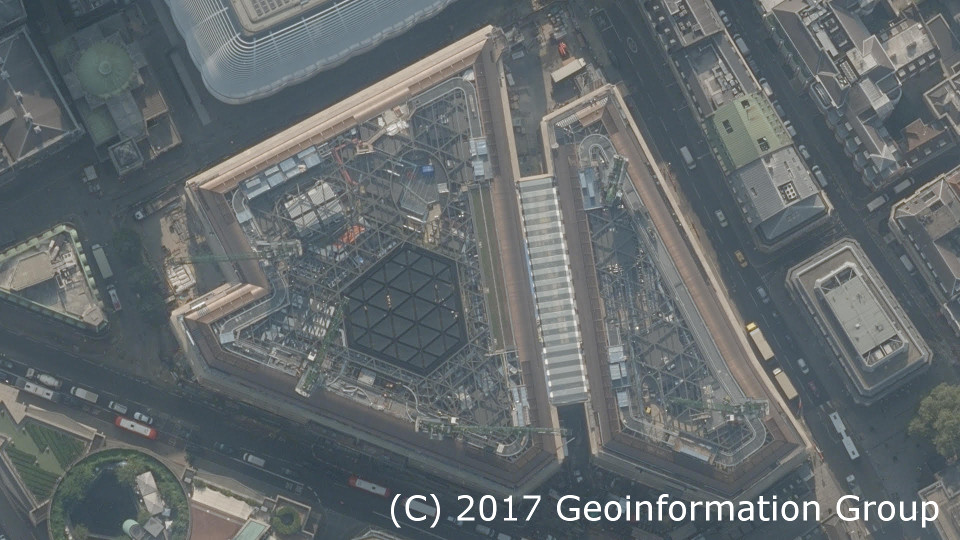
2016 Source Imagery
The Base 3D Model is manually captured using stereo photogrammetry. The source photography and its associated data is from the latest high-res 12.5cm GSD imagery collected in August 2016. This gives the user the confidence that the most recent additions to the London skyline are included in the 3D model.

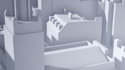
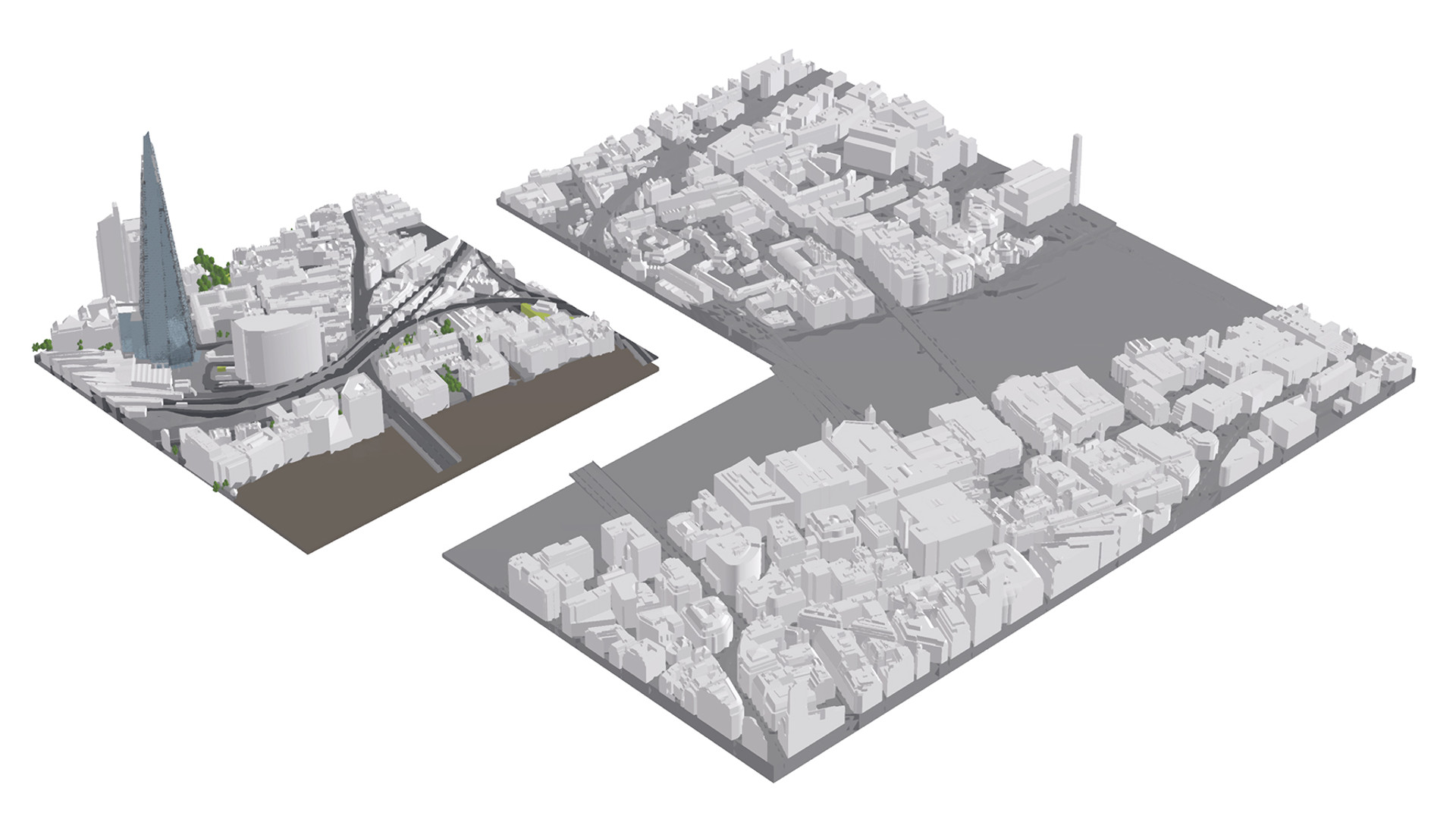
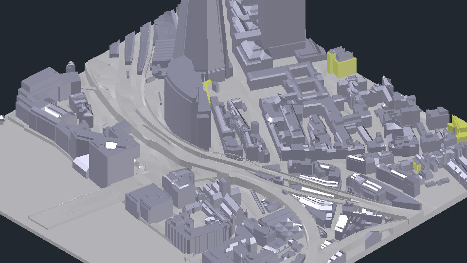
Accurate Buildings
The Base 3D Model is accurate to 200cm in all axes. Main features of roofs and structures are manually captured with correct shapes and slopes. The 3D Building models are low poly and displaying the entire dataset is possible on standard PCs. If more detail and/or accuracy is needed, customers can purchase Medium Level 2 and High Detail Level 3 models at a 10% discount.

Accurate Terrain
The terrain in the Base 3D Model is not flat. It is manually captured using the same photogrammetry method as the buildings and is accurate to 100cm in all axes at curb level. Where necessary features such as embankment walls or major vertical height changes are captured as features.

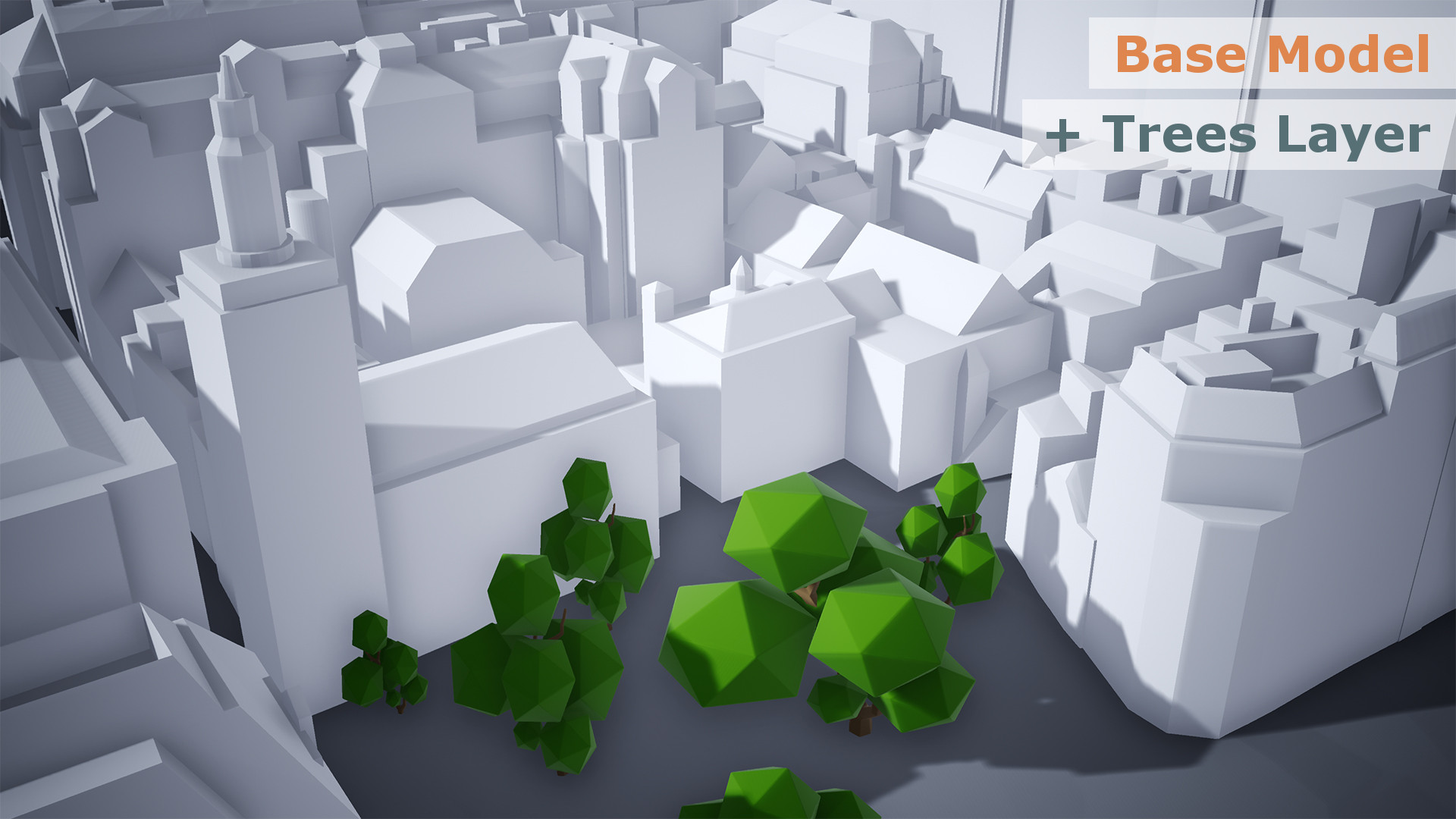
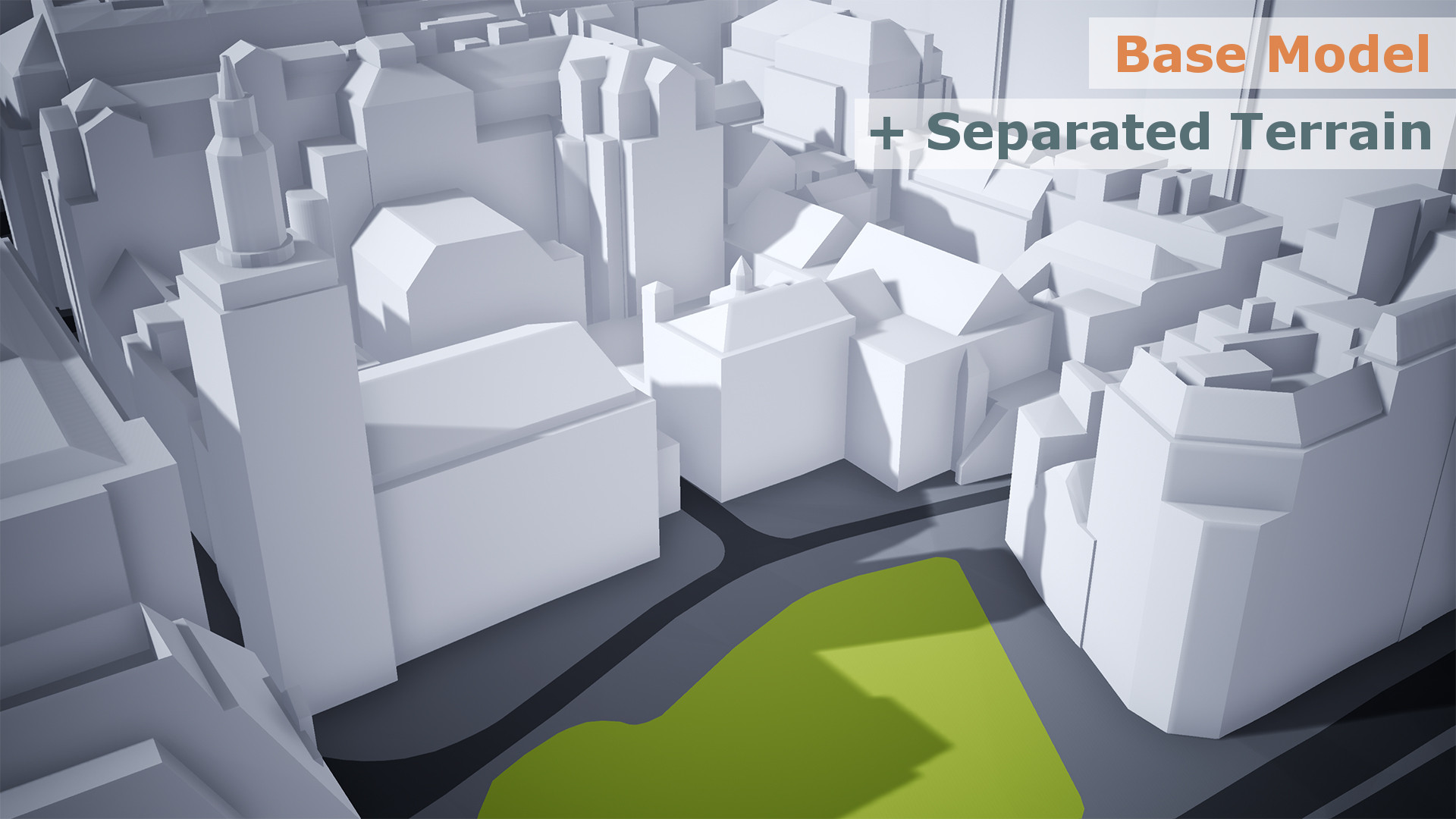
Base 3D Model of London Layers
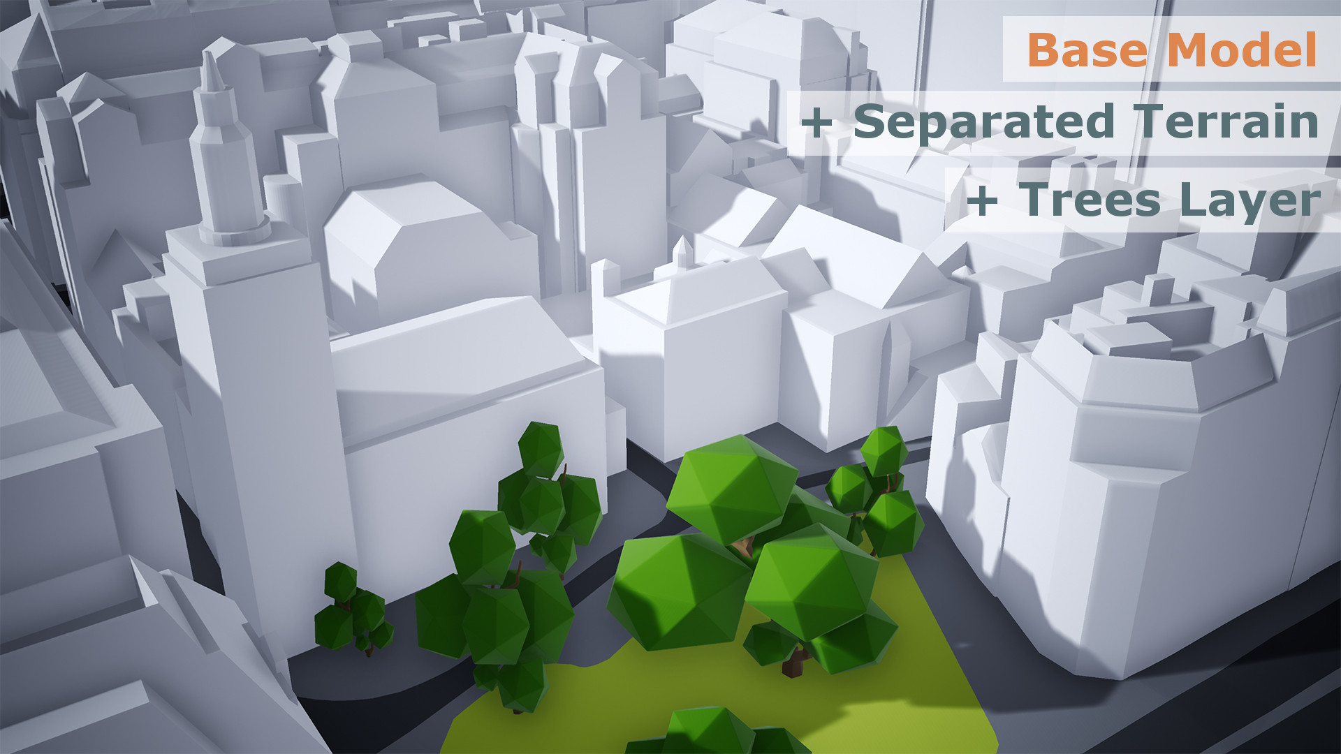
The dataset is structured in layers / objects. As a standard Base model contains Level 1 Buildings, Terrain and Waterbody layers. Optional Terrain layer (Terrain separated into general land-use such as Roads, Greenspaces and Man-made surfaces) and Trees Layer can be purchased separately.

Base 3D Model of London Tile structure
The files are structured in 500 x 500m (0.25 km2) OS Tiles, allowing for easy editing of the areas you would like to work on without loading the entire model. It also allows for easy replacement of an area with higher detail/higher accuracy models, whether bought from us or from your measured survey.
Easy to Use and Upgrade
The tile structure allows for easy replacement of an area with higher detail/higher accuracy models, whether bought from us or from your measured survey. With your Customer discount you can upgrade any tile to Level 2 from £225 + VAT or to Level 3 from £450 + VAT.

Company-wide Multi-use Licence
We believe in innovation and affordable access to high quality data. The Base 3D Model licence is easy to understand and allows your company to use the model over and over again for 5 full years.
3D formats to suit your workflow
The Base 3D Model is delivered in AutoCad Solid DWG, SketchUp SKP and Filmbox FBX formats for easy editing that suits most workflows. The 3D Model is easy to import into Revit, 3D Studio Max, Maya or Cinema 4D.

3D Print ready
The Base 3D Model is made with 3D printing in mind. Files are easy to print using most office and professional 3D Printers. Because the 3D Model is structured in tiles, you can easily build larger models using printers with a smaller build volume. Your licence allows for 3D prints of up to 150cm in size.

10% Discount on further AccuCities products and services
Customers who buy our Base 3D Model of London will get 10% off our entire range of products and services. Whether you need higher accuracy or higher detail models from our library to upgrade this Base model around your site or need a 3D Model of a city that we need to capture to order, 10% discount will apply to your order.
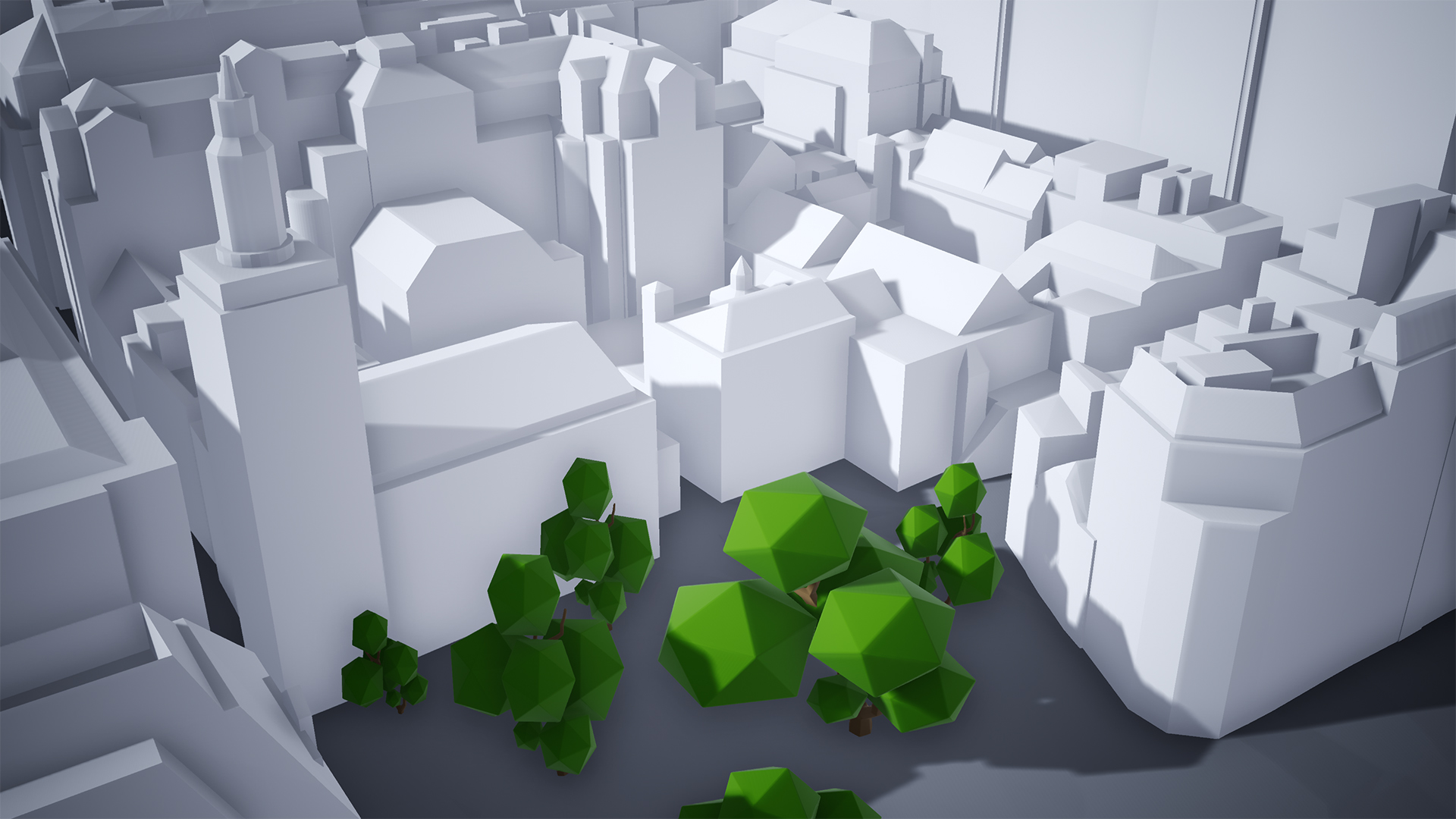
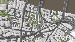
Optional Layer: Accurate Tree sizes and locations
The Base 3D Model includes trees locations with correct trees heights and canopy widths. Delivered as cylinders which can be replaced with trees of your choice.
Trees Additional Layer: £1,500 + VAT / 25 km2
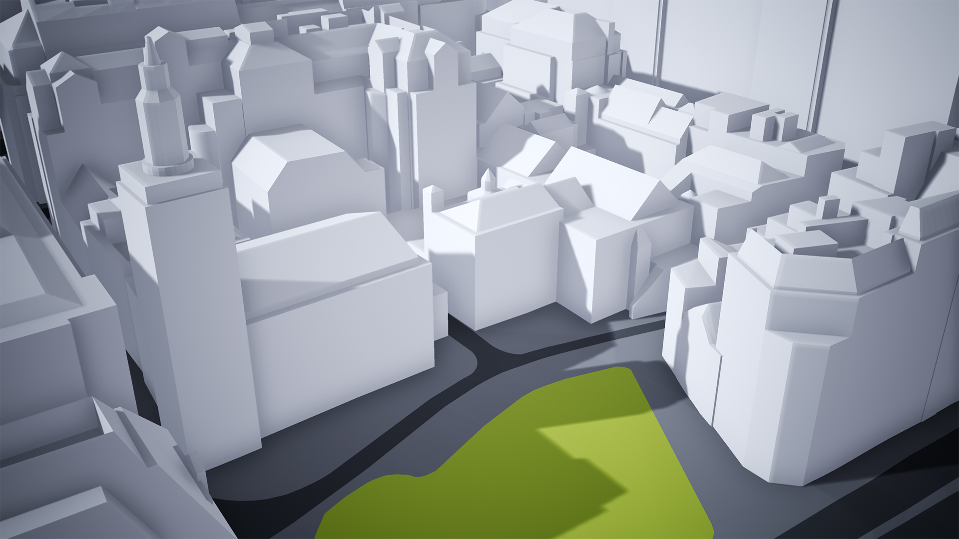
Optional Layer: Accurate Separated Terrain
Terrain can be upgraded to include terrain separated into land use classes such as roads, paths, man-made surface, greenspace or sports fields.
Separated Terrain Layer: £2,000 + VAT / 25 km2
Compare Wide Area 3D Models of London
The way our customers use the 3D models is almost always unique and the 3D model they chose depends on many factors beside budgets and required accuracy. The best way to fully evaluate our 3D models is to download sample.

Base 3D Model of London:
Mostly used in architectural competitions, context for BIM models, backgrounds for architectural visualisation, CGI, info animations, initial planning proposals, wider area 3D printing, home 3D printing, games and mobile application requiring low-poly models.
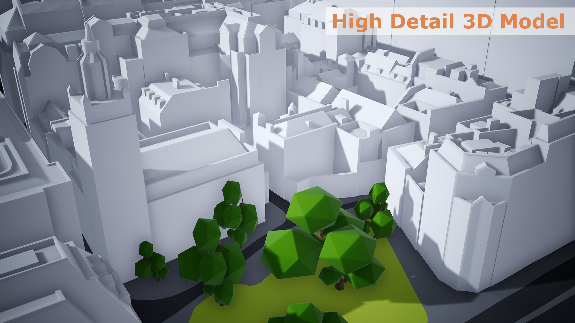
Level 3 High Detail 3D Model of London:
Mostly used in planning, environmental and building consultancy services, development proposals, wind studies, context for architectural and BIM models, real estate, marketing, high-end architectural visualisation, CGI, animations & High-End 3D printing.