London’s digital twin is helping surveyors rapidly scope out daylight and sunlight issues related to proposed building developments, saving time, manpower and money in the process.
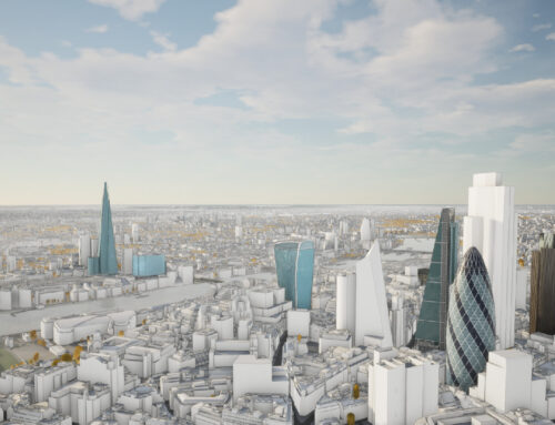
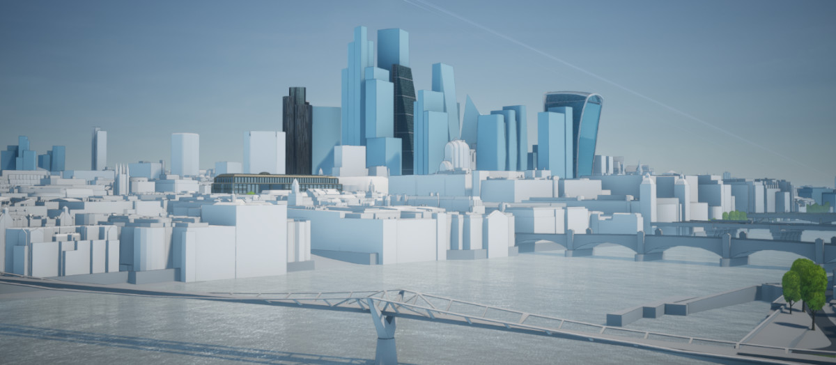
As a UK-based consultancy in the field of rights of light and daylight and sunlight, Anstey Horne relies heavily on digital methods to model the impact of light and shade on proposed projects in London. Anstey Horne once relied on traditional surveying techniques and in-house 3D modelling expertise to build up visualisations to analyse a site, costing valuable time and resources. But now it plugs directly into a vast and detailed third-party 3D model of Central London covering more than 60km2.

3D Model of London Subscription for Surveyors
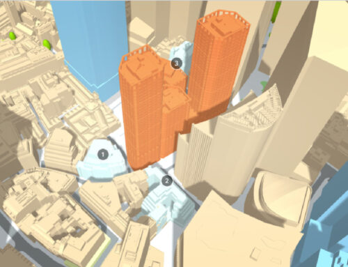
The subscription-based CAD model, developed by AccuCities, allows users to draw, or drag and drop buildings into the city environment and examine the physical impacts on the surroundings. The associated Unreal Engine (UE4) powered desktop app Plan.City integrates a suite of site evaluation and presentation tools intended to help urban planners and architects assess projects. They can also navigate through the environment in real-time using a video game controller.
The AccuCities 3D CAD model sits on Anstey Horne’s server and is used from the outset of a project to scope out the existing massing on a site and the feasibility of design proposals, ready to advise the client on impacts.

Upgrading 3D models with laser scan survey
Stephen Walsh, senior director at Anstey Horne says: “AccuCities gives us the advantage of having a large area of pre-modelled massing around a site, so for an annual license fee we can open it up, or open up sections of it, and start working straight away.”
Areas of the site that are constrained, or contain more sensitive properties, are laser-scanned and the new data is applied to the base model to create a more detailed representation to refer to through ongoing design. This might include all windows and internal rooms for properties surrounding a site.
Subscribers can develop custom UE4 tools
Subscribers get full access to the back-end of Plan.City, making it possible to develop custom tools for more specialist activities.
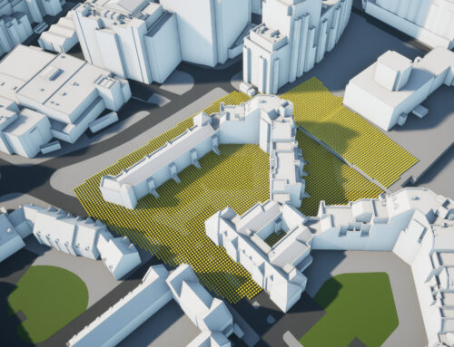
Anstey Horne created a live vertical sky component (VSC) calculator, used to assess the daylight impact of different massing options, and a VSC façade mapping tool to provide alternative assessment criteria.
“We run the VSC tool to see how much sky can be seen across the development, which gives a steer to the client as to how much mass they should think about putting on a site,” says Walsh. “The ability to plunge a client into a 3D model and walk around it using a game controller, like a protagonist in an open world video game, is a powerful way to communicate a scheme, and a more immersive alternative to traditional 2D plans and drawings.”

Subscription to AccuCities 3D London
Manually captured from 2016 and 2019 High-Res imagery, the dataset covers 60 km2. Accurate to 15cm, regularly updated and upgraded. Subscribers keep the entire dataset available on their premises. 3D London subscription includes Future Skyline layer and Plan.City Pro app.
AccuCities Case Study (PDF):
AccuCities Case Study – Londons digital twin used by Anstey Horne
Original & extended article:
How London’s digital twin helps surveyors see the light