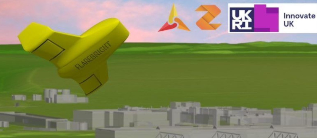
3D city models play a crucial part in designing and monitoring future Unmanned Aerial Vehicles (UAVs) air traffic. As drone technologies are advancing at a fast pace, safety in the cityscape remains a prime concern. AccuCities have been the supplier of choice to SafeZone, an innovative project to improve urban flight safety and effectiveness of drones, developed by Zenotech and their partners Flare Bright.
Safely navigating UAVs in built-up environments in a world-first project
SafeZone will deliver a new live data service, that will provide real-time information about aerodynamic hazards in cityscapes. The results of this project will allow UAVs to adapt their route as they fly through wind changes improving safety and public confidence in drone flight in urban areas.
The project partners are Zenotech, which specialises in high performance computing and aerodynamic simulations and Flare Bright, the developers of a revolutionary fully autonomous nano drone, Snapshot.
Accurate and detailed 3D city models for SafeZone
The team needed highly accurate 3D models of specific sites and buildings in the UK. After researching numerous sources of this kind of data, including open source, AccuCities was chosen as the preferred supplier.
David Standingford, Director and Co-founder of Zenotech told us:
“We were impressed with AccuCities overall. What stood out for us was the level of detail in their models, and their user-friendly web interface makes it easy to specify areas of interest. We’ve been working with the technical team at AccuCities to refine a data exchange process to make it easier to input their models into our high fidelity zCFD aerodynamic simulation software.”
“The need for highly accurate 3D models of as-built environment is paramount for SafeZone.”, continues David. “We are using Flare Bright’s drone to test winds at numerous points near buildings and industrial sites at 1-metre resolution, which will validate our computational fluid dynamic models to estimate wind speed. The detailed models AccuCities provided are perfect for this purpose.”
SafeZone is a Future Flight Challenge project, part of the Industrial Strategy Challenge Fund, delivered by UK Research and Innovation. You can read more about AccuCities’ involvement in the project in this interview on the Zenotech blog.
Accurate, Detailed & Up-to-date 3D City models
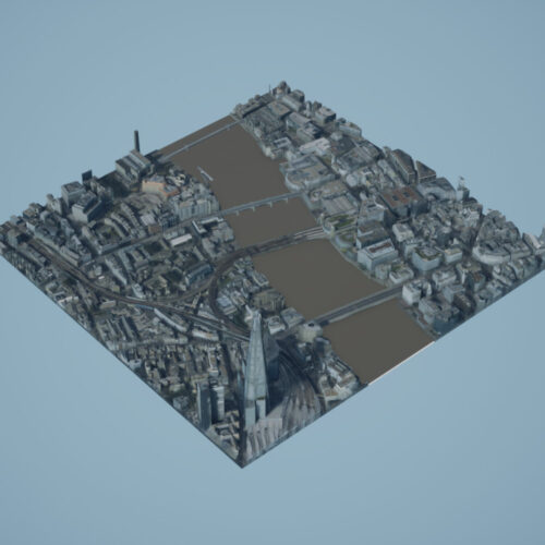
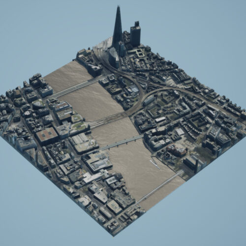
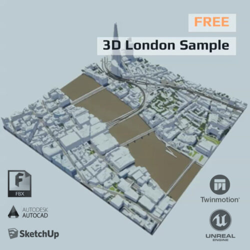
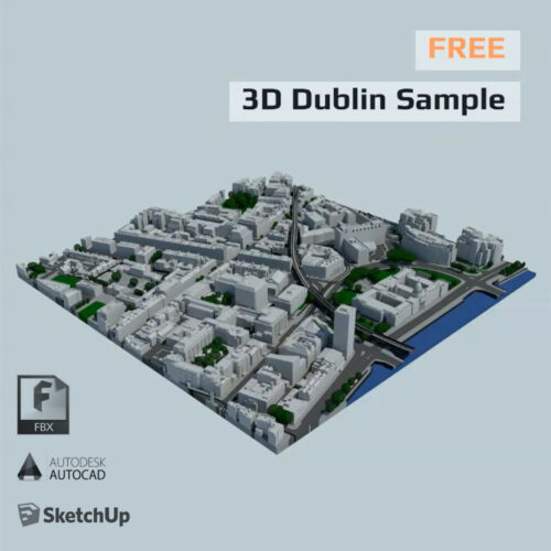
Before you decide whether our 3D city models are the right fit for your project, AccuCities has released free sample data for a variety of cities. Our samples can be used to evaluate our 3D data, compare Levels of Detail, test compatibility or just to play around. 3D London tile TQ3280 is a free 3D London model sample and covers 1,000 x 1,000 meters area. Sample in all Levels of Detail can be downloaded in AutoCad solid, SketchUp and FBX format. I is also available as UE4 Project files as well as Interactive 3D Model app.
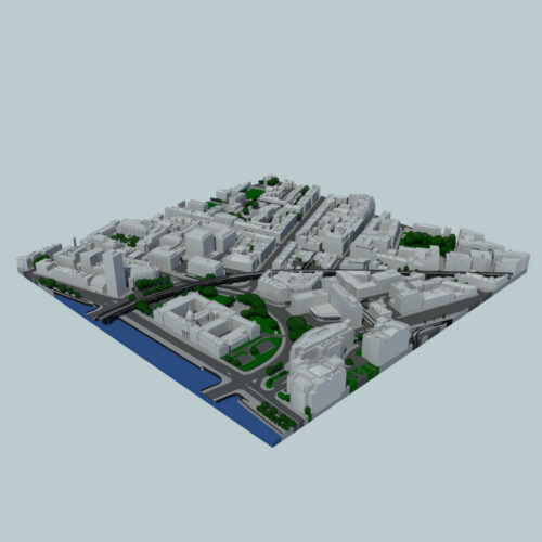
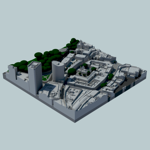
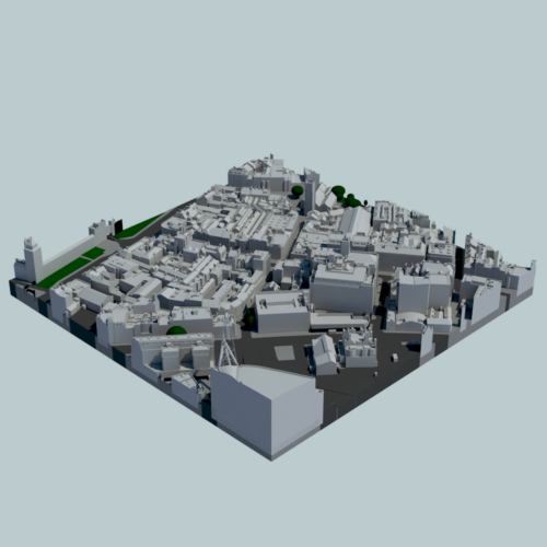
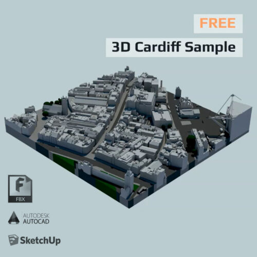
3D city models of Cardiff, Bristol and Dublin can be download from our store alongside our 3D London sample. Whilst Cardiff and Bristol samples represent 0.2 km2 sections, Dublin sample covers an entire 0.25 km2 tile.
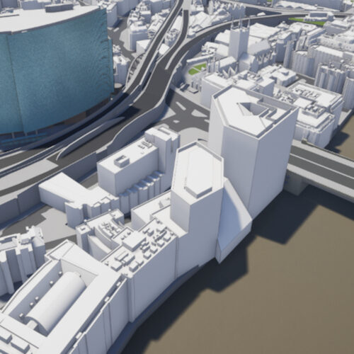

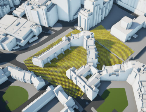
AccuCities supply 3D city models of as-built environments to almost 200 customers. Our accurate, detailed and up-to-date 3D models are captured using aerial imagery to manually capture all visible features in 3D. Our service now covers 98.5% of United Kingdom. Get a Quote here.