Our production team is highly skilled and take great pride in capturing highest quality 3D city models. Every point and every line in our 3D city models is manually captured using photogrammetry.
Photogrammetry
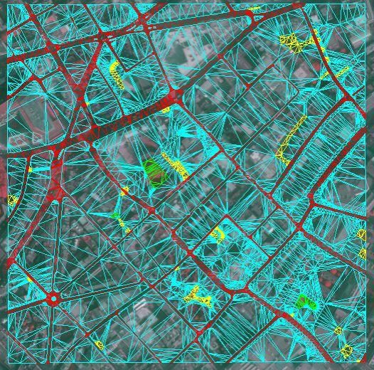
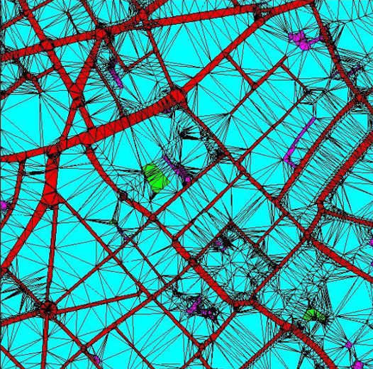
Photogrammetry is the science of making measurements from photographs, especially for recovering the exact positions of surface points (Wiki). We use stereo photogrammetry using latest high-resolution aerial imagery to capture our 3D Models. To explain complicated process very briefly, as survey plane flies over London, it takes series of photographs which overlap by 60%. With each photograph its GPS position, height, tilt, pitch and roll are recorded. Using this data + camera calibration data (to eliminate lens distortion effects), the imagery is triangulated to its correct real-world coordinates.
Now we can finally start with the capture process. In areas where two images overlap, we project one image into one eye, the second image into another eye and and this way we are able to see the Z value (depth).
Terrain Capture
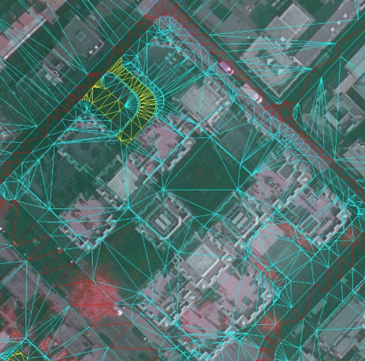
When creating terrain we capture points along curbs of roads, along green spaces and footpaths as well as any significant change in terrain profile. This results in accurate and detailed Terrain file.
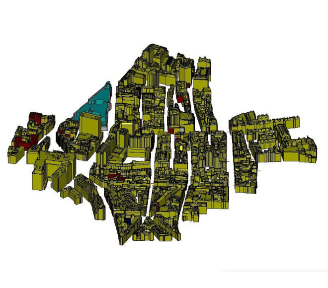
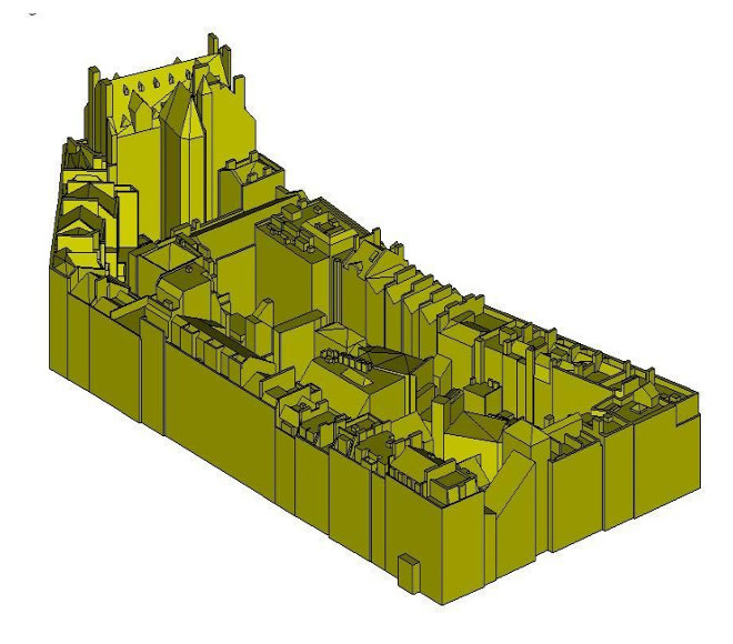
Buildings Capture
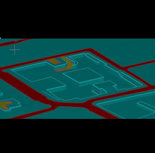
Once the terrain is captured, we move onto feature capture. For Level 3 3D Models all roof features are manually captured by highly skilled digital craftsmen, resulting in 3D Models with consistent accuracy and correct geometry. Our buildings extent terrain by around 0.5 meter which ensures that models are watertight for applications such as 3D printing.