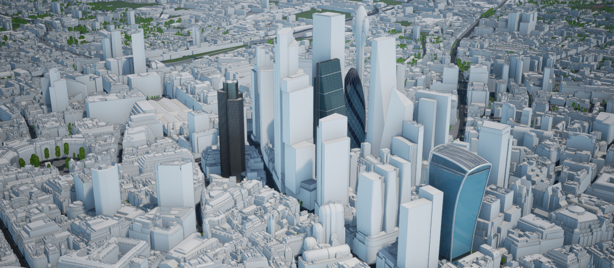
The City of London, also known as the Square Mile, is a local authority in central London. Covering an area often called “the most expensive square mile in the world”, it is London’s finance hub and home of some of the most well-known historical landmarks, including the Tower of London, Unesco’s World Heritage site. Its architecture is therefore a very unique blend of historic buildings and ultra-modern, high-tech skyscrapers. These are the prestigious architects building Future London.
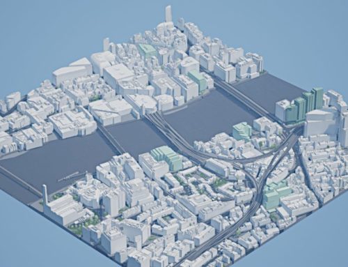
Balancing all the needs and requirements of all of the stakeholders creates one of the most challenging, but also one of the most forward-looking and democratic planning systems in the world. AccuCities is collecting information from local planning authorities to create a uniform, accurate and democratic outline of the future skyline of this fast-changing area of London.
Recently completed landmark developments
- The Scalpel by Kohn Pedersen Fox Associates, developed by WRBC Development UK Limited
- 22 Bishopsgate by PLP Architects, developed by AXA Real Estate
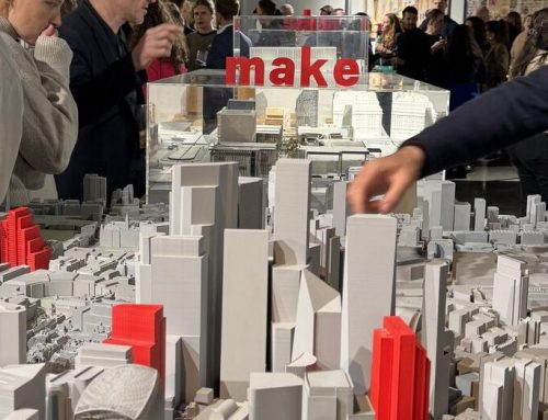
- One Leadenhall by Make Architects, developed by Brookfield Properties
Consented landmark developments of the future
- 8 Bishopsgate by Wilkinson Eyre, developed by Stanhope, 2022
- One Undershaft by Eric Parry Architects, developed by Aroland Holdings, 2026
- 55 Gracechurch Street by Fletcher Priest Architects, developed by Tenacity, 2026
- 100 Leadenhall by Skidmore, Owings & Merrill, developed by Lai Sun Developments, 2027
- 70 Gracechurch Street by Kohn Pedersen Fox Associates, developed by Tenacity, TBD
- Gotham City by MAKE Architects, developed by Nuveen, TBD
- 50 Fenchurch by Eric Parry Architects, developed by Capital Real Estate Partners, TBD
Possible landmark developments of the future
The Tulip by Fosters + Partners, blocked by London’s mayor in 2019, appeal launched in 2020

3D city models as product or service
AccuCities 3D city models can be purchased as a product in a variety of formats and in the size of as little as a single 500×500 metres tile. For larger customers or for customers in need of a wider area context, there is a subscription option. Subscribers to the 3D London dataset receive 3D models of future skyline updates regularly. For customers who purchase 3D models in tiles, they receive future skyline models within that tile, but these don’t get updated later on.
“Creating 3D models of skyscrapers for the AccuCities Future Skyline of the City of London is a unique offering, highly valued by our customers,” says Sandor Petroczi, the director of AccuCities. “Architects building the Future London skyline are of course encouraged to send us their proposals but the final version always has to come from an independent, publicly available source – most often a local authority’s planning portal. Because architects or developers do not pay a fee to be included, there are no conflicts of interest in the way our future skyline looks. This gives a universal, independent overview of the massing of the entire development area.”
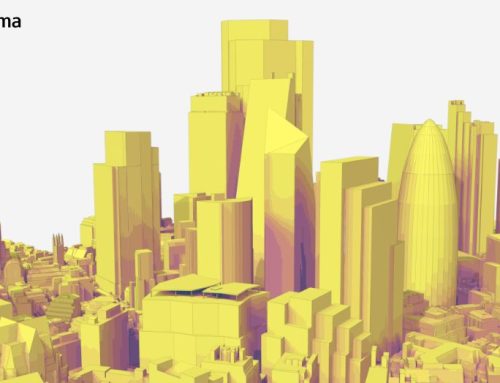
Renders and animation in Plan.city
Plan.City app is a valuable tool to architects and urban developers. Besides other functions, they often use it to communicate their designs. Leveraging the power of Unreal Engine 4, all animations and renders in this article were created quickly and effectively in the app.