Earlier this month, AccuCities took part in an Industry-military collaboration workshop organised by the UK Ministry of Defence. As a supplier of high-accuracy / medium-size 3D maps to various industries, we hope that we were able to bring a slightly different angle with our site-focused approach to 3D mapping. On the other hand, it was really valuable for us to learn about the latest 3D mapping capabilities as well as about the requirements of the security and defense industry.
3D Mapping Workshop in Numbers
Overall, over 75 attendees from the military, industry representatives as well as representatives from various think-tanks and journalists took part in this wide-reaching collaboration workshop.
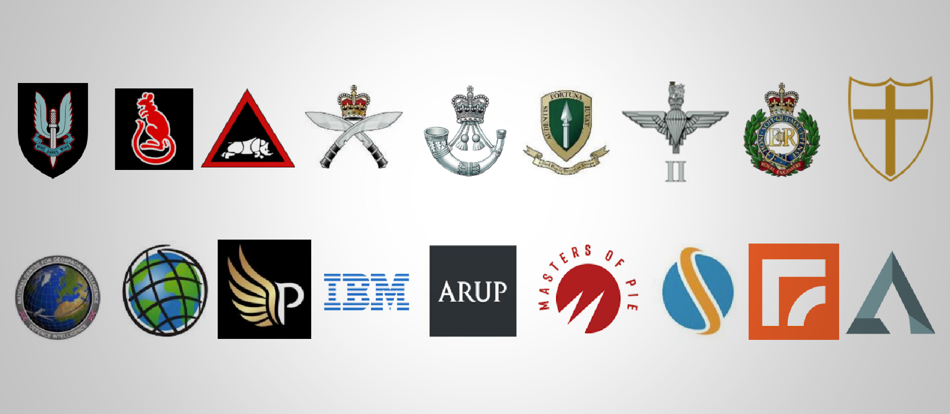
James Moloney, Senior Consultant at UK Ministry of Defence, said in his LinkedIn post: “Thank you to our soldiers, JNCOs, SNCOs and officers, who along with our industry partners made a successful workshop proving the value of military-industry collaboration, and its ability to accelerate learning, and integrating new ideas. Esri, Masters of Pie, IBM, Paragon Drones Ltd, Arup, Skyline Software Systems, Modux & AccuCities® 3D City Models all played pivotal roles in shaping our understanding. We look forward to further collaboration later this year.”
Military-industry 3D mapping collaboration
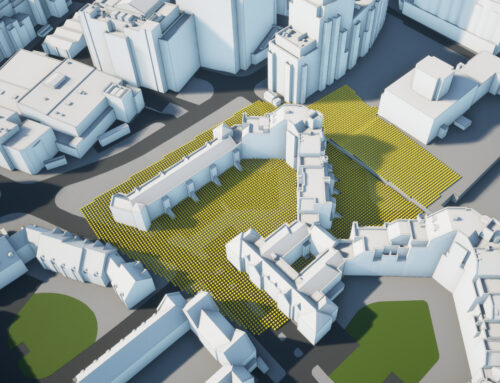
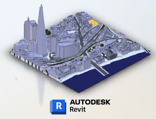
The stereophotogrammetry mapping process using an aerial photographic survey that we use in our production has been developed in the UK during the Second World War. AccuCities is one of few companies using this technology for civilian purposes, capturing features manually to ensure the highest-grade accuracy and detail. As we sit between large-scale 3D mapping projects of lower accuracy and higher-recency, automatically produced drone 3D maps, it was interesting to compare and contrast various production methods, their pros and cons and what is being developed in each branch of 3D mapping.
“We very rarely work with the defense industry and so it was incredibly useful to learn their approach to the problems we all encounter, whether we make 3D maps for mainly military or civilian use,” says Sandor Petroczi, AccuCities representative at the workshop. “We produce and deliver 3-10 3D mapping projects all over the UK every day and this unique set-up balances efficiency and speed of delivery with 100% quality and accuracy, whilst still accounting for various customer preferences, from Level of Detail to the Delivery format, and this was what we could bring to the table. I hope that our contribution was of interest to other participants; I have certainly found the whole workshop incredibly interesting and informative.”
Big Thank you to the organizers and participants, we have certainly enjoyed the opportunity to network and share our industry experience with our military colleagues.