This webinar is centered around a direct comparison of 5 different 3D city models, contrasting their main differences and limits of each of the models. To do this we have overlaid a render of each type of 3D city model, looking at the same area of London; looking south from north London, the compared models cover roughly an area between Millenium and Tower Bridge.
Once we understand the main characteristics of each of these models, we will look at real-world case studies of their use, especially in the context of sustainable architecture and construction. We will consider the suitability of each type of city model and highlight applications where free or inexpensive models might be sufficient. To quantify the findings of this comparison, we have scored the models on a number of variables.
")
")
")
")

Fully accredited part of RIBA Core Curriculum
This material is available as an online RIBA CPD video and forms a part of the ribacpd.com digital CPD mix of RIBA-approved CPD material.

RIBA members are obliged to obtain more than half their yearly CPD total from CPD core curriculum. The seminar is listed under “Places, planning and communities” and “Design, construction and technology”. As this is an introductory overview of 3D city models in architecture, the knowledge level is General Awareness. This RIBA-approved CPD earns Chartered Architects double points.
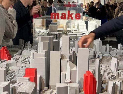
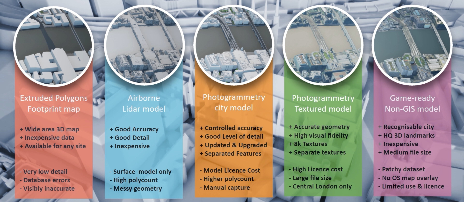
Comparing 5 types of different 3D city models
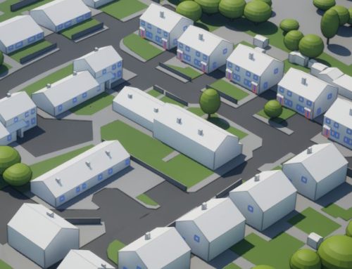
- Extruded Buildings footprint Polygons 3D map – this is easy to obtain and possibly the simplest form of a 3D city model. It’s excellent for background models and wide area city visualisations on a budget.
- Airborne Lidar model – a much more accurate and detailed model, however it’s quite a messy and unseparated Digital Surface model dataset.
- Aerial photogrammetry – made with clean geometry with a high level of detail, up to 15 cm accurate. This does come at a cost.
- Textured photogrammetry model – textures applied onto clean geometry, an accurate city model with high visual fidelity. Might be cost prohibitive and currently only available for London
- Game-ready model – not made for architecture or urban planning but very affordable with a surprising level of detail on landmark buildings.
Not an architect? Watch for free on AccuCities.com
The term “3D model” is an overarching term covering everything from simple extruded map polygons models all the way to custom-made millimeter-accuracy 3D scans. The 3D models vary greatly in terms of their accuracy, level of detail, recency and usability, as well as in terms of their costs, delivery time and its file format. This seminar offers a direct comparison of 5 different 3D city models. We have overlaid a render of each so we can compare and contrast the accuracy and level of detail for each.
Watch Overview of 3D city models on AccuCities
Watch Overview of 3D city models on YouTube
Watch Overview of 3D city models on ribacpd.com