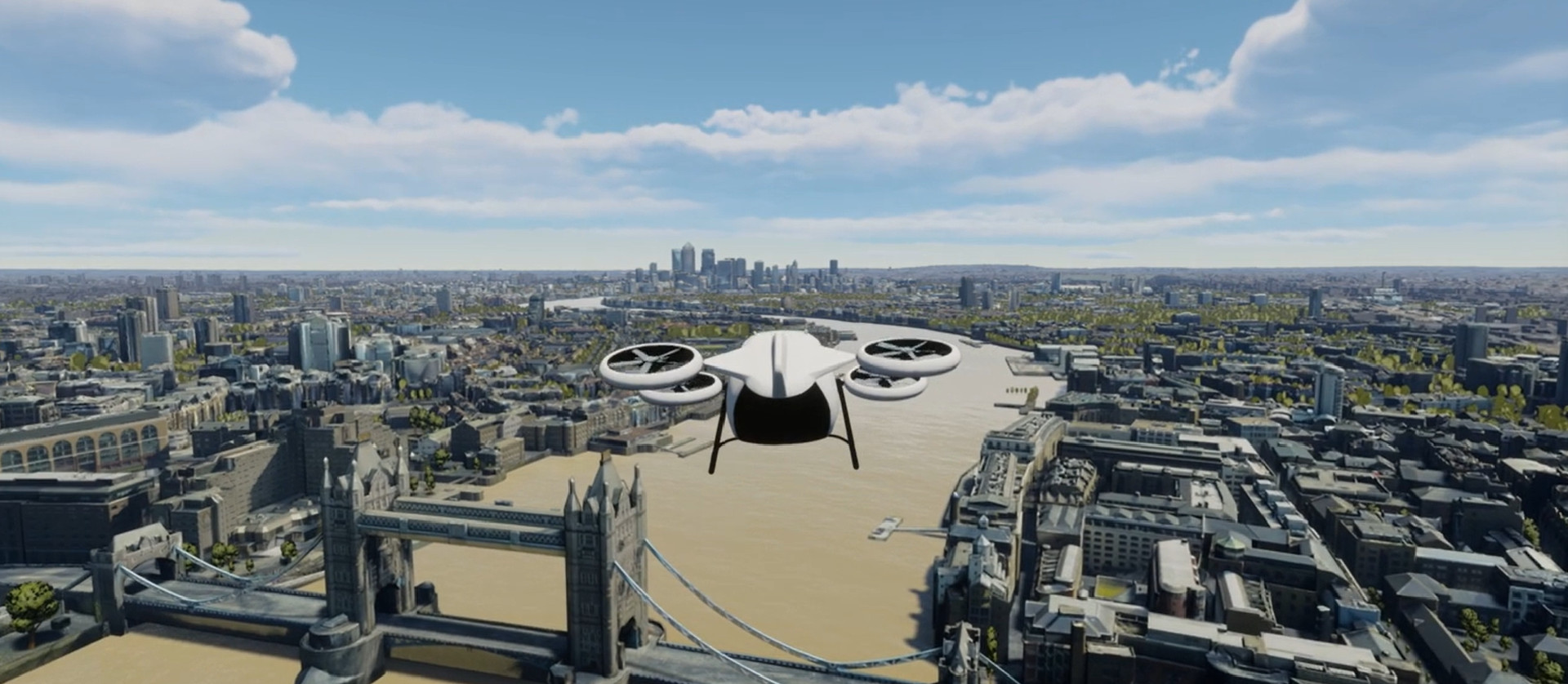
AccuCities 3D models of London are used by a wide range of industries. We aim to slide as seamlessly as possible into customers’ production lines. Our focus is on a 3D city models accuracy and usability, combined with the ever-improving visual fidelity. Microsoft is utilizing AccuCities for Project AirSim, a new platform to build, train, and test autonomous aircraft, using our expertise for realistic, textured 3D models of London.


3D London fit for Architects as well as Flight Simulators
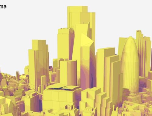
AccuCities 3D city model of London is usually used for architecture and urban planning. However, it has always been designed as a library that any industry can tap into. We are incredibly proud that Microsoft joins over 220 smaller, but mostly equally ambitious customers who use our 3D city models already.
“I am really pleased that Microsoft has chosen AccuCities, and our 3D London model, for Project AirSim.”, says Sandor Petroczi, AccuCities Director. “Of course, we are 3D city modelling nerds first and foremost and we put a lot of effort into our London model capture. But we don’t just create a 3D model, sell it and be done. We really do support our customers and are as close to being their internal 3D city modelling department as possible. As our 3D London subscribers, Microsoft has been able to request the model in a variety of formats and have the model available directly on their own networks.”

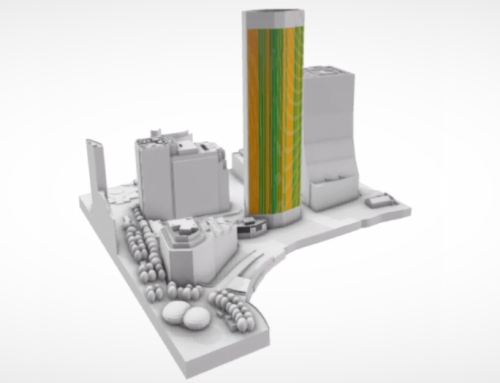
AccuCities has spent the last 5 years creating its digital 3D London model. Produced by capturing all details visible from aerial imagery, the realistic 3D model of London is captured and textured from a 2019 survey. Manual stereo photogrammetry is used to capture the underlying model which is then UV mapped and post-processed for texturing. The result is a city-wide, recognisable virtual environment in which every point is accurate to within 15cm (6 inches) of its real-world counterpart. This provides a reliable, regularly updated real-world context for urban simulations.
“London, New York City and Seattle are the first three cities included in Project AirSim.”, says Michal Konicek, Director of AccuCities. “Training the next generation of urban air mobility and delivery vehicles using the digital London model offers great opportunities for the UK drone industry. Simulations will take into account specifics of London architecture, from dense and narrow urban canyons to high-rise skyscrapers. It will also help to simulate the cumulative impact of the sheer number of drones needed to serve a city like London. That means that the technology will be both thoroughly trained and quickly deployable, made safer with simulations ran on every conceivable scenario.”
AccuCities customers can purchase small parts of their 3D model of London from as little as 500×500 meters area. Customers which require access to the entire 3D London model area can subscribe to a regularly updated, upgraded and enlarged version of the city model.
What is Microsoft Project AirSim?
Project AirSim is a new platform running on Microsoft Azure to safely build, train and test autonomous aircraft through high-fidelity simulation. Using the power of Azure to generate massive amounts of data for training AI models on exactly which actions to take at each phase of flight, from takeoff to cruising to landing. Running simulations in realistic environments enables AI models to run through millions of flights in seconds, learning how to react to countless variables as they would in the physical world: How would the vehicle fly in rain, sleet or snow? How would strong winds or high temperatures affect battery life? Can the drone’s camera see a landing site on an overcast day just as well as a clear one?
Project AirSim offers libraries of simulated 3D environments representing diverse urban and rural landscapes as well as a suite of sophisticated pre-trained AI models to help accelerate autonomy in aerial infrastructure inspection, last-mile delivery and urban air mobility.


Project AirSim is available today in limited preview. Contact the Project AirSim team to learn more.