Plan.City is used daily by several UK architects, planners, consultants and even construction companies to quickly create design iterations compliant with local and national restrictions and regulations. In this live demonstration of Plan.city app capabilities, Brais is giving audience a sneak peek into the capabilities of the next-gen Plan.City using three new tools. The tools were developed with significant input from our existing customers. The Modular Builder Tool, Transient Overshadowing Tool and the Sun Hours on Ground Overshadowing Assessment Tool will alow users to make better design decisions.
Modular Builder Tool
The Modular Builder Tool allows users to build structures in Plan.City. Unlike the Simple Sketch Builder, it allows users to create buildings in a more granular way. Users can create a building from 5 x 5 meters modules, create flat or sloping roofs and change the design and assignment of each module. The resulting 3D object can be interrogated against the rest of the built environment, using any of the other tools available.

Transient Overshadowing Tool
The Transient Shadows is a tool that allows users to evaluate the impact of a design on a given area, looking at the new overshadowing areas. This is usually done for various hours on three dates (21st of March, 21st of June and 21st of December). Users can either review the results in the app or create a series of renders for each day and hour of the day, to be used in a separate presentation or a report.

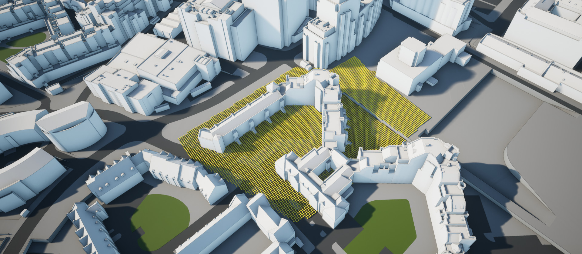
Sun Hours on Ground Overshadowing Assessment Tool
The Sun Hours on Ground Overshadowing Assessment Tool allows users to calculate the percentage of a given area that can see the sun for more than 2 hours on a specific day. Users can define multiple areas, save them for later use and even import areas created in a third party application. Before running the analysis, users can select the date for which to run it, adjust the spacing between the points to be analyzed, and also the ground offset of these points.

The video has been recorded as a CPD to a live audience. It is the first time Brais and his team were able to present these new tools to the world.
New Plan.City Urban Planning tools
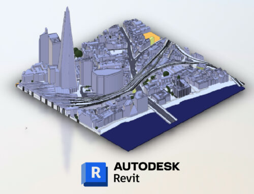
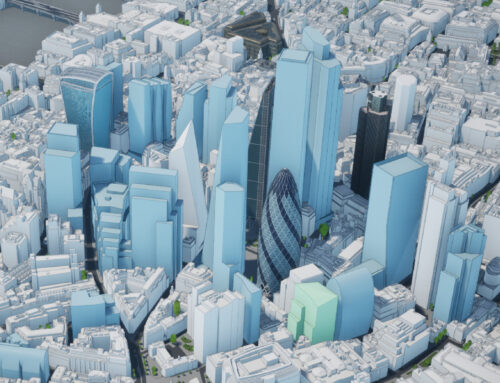
Learn More abour 3D London model
Learn more about our 3D London model, manually captured from 2022 High-Res imagery. This 3D Model covers 60 km2 and is accurate to 15cm, regularly updated and upgraded. Subscribers keep the entire dataset is available on their premises. 3D London subscription includes Future Skyline layer and Plan.City Pro app.